With the closing of Grand Coulee Dam’s gates in 1942, Franklin D. Roosevelt Lake (or Lake Roosevelt for short) was created.
The waters of the Columbia River behind Grand Coulee rose 380 feet, creating over 600 miles of shoreline. The length of the lake is over 150 miles, extending from Grand Coulee dam to near the Canadian border. The width of the lake generally varies from one half to one mile from the dam to Kettle Falls, which is about 100 river miles. The lake then narrows considerably as it reaches up to Northport and the Canadian border.
The size of Lake Roosevelt, however, only begins to tell the story of a water and land area that is unique in many ways. This section contains a brief overview of how the area’s geography, cultures and economies change and shift from North to South and East to West.
River, Geology & Geography
The waters of Lake Roosevelt fill an immense valley and gorge.
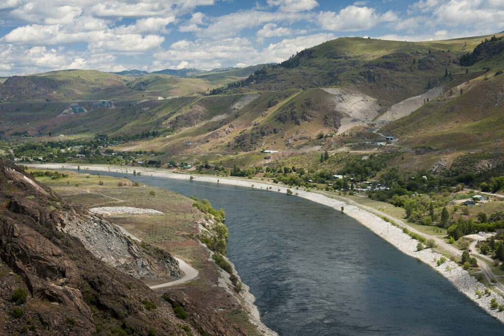
During the ice age floods, glaciers from the north descended south and created large valleys. Huge lakes extending well into Montana formed behind the ice. When the ice dams collapsed, there were torrents of flooding that have no parallel in size and scope today. These floods further shaped the gorge. Indeed, vertical walls more than 800 feet high were created.
Beyond the ice age floods, the physical characteristics of the lands reflect the crossroads of three distinct geographic provinces: the Okanogan Highlands, the Kootenay Arc, and the Columbia Plateau. As described by the Washington State Department of Natural Resources:
The Okanogan Highlands province is situated east of the Cascade Range and north of the Columbia Basin. To the east and north, the highlands extend into northern Idaho and southern British Columbia, respectively. They are characterized by rounded mountains with elevations up to 8,000 feet above sea level and deep, narrow valleys. The Columbia River divides the Okanogan Highlands into two geographic regions: to the east of the river are the Selkirk, Chewelah, and Huckleberry Mountains; to the west are the Kettle, Sanpoil, and other mountains.
The eastern portion of the Okanogan Highlands contains the oldest sedimentary and metamorphic rocks of the state. Precambrian Belt Supergroup, Windermere Group, and Deer Trail Group metasedimentary rocks extend from British Columbia south to the Columbia River. The nation’s second largest magnesium operations are located near Addy, in Stevens County.
All Paleozoic and some younger rocks have been repeatedly folded into a northeast-trending regional structure called the Kootenay Arc, which extends northeastward for 150 miles into British Columbia and contains numerous lead-zinc mines. In Stevens County, Cambrian Addy Formation quartzite is mined for its silicon content, and near Northport, Devonian argillite includes interbedded barite.
When the Columbia reaches the confluence of the Spokane River, it turns sharply west. This is where it meets the flood basalts of the Columbia Plateau. As the river moves toward the dam, the scablands of the Columbia Plateau dominate. The geology in this area is also interesting because on one side of the river you can see where the basalts were deposited on top of the granites and then later eroded away by the Ice Age floods.
Climate & Vegetation
The northern areas of Lake Roosevelt receive about 17 inches of rain a year.
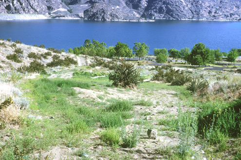
This rainfall supports dense growths of Ponderosa Pine and Douglas-fir. Grasslands, Alder, willow, hazelnut, and black cottonwood are common along the river and its tributaries.
Moving south, however, the climate becomes far more arid. In the mid-lake area there is a transition from Ponderosa Pine to sage-steppe. Bluebunch, wheatgrass, hard fescue, and forbs such as balsamroot, northern buckwheat, brittle prickly pear, alum root and lupine are common here.
By the time the river/lake reaches Grand Coulee dam, average annual precipitation is only 10 inches. This precipitation occurs mostly in the winter and spring. The summers are hot and dry. So instead of dense forests, the environment is that of a high desert where shrub steppe species like sagebrush and bitterbrush predominate.
Communities & Economies
Five counties and two Indian reservations touch Lake Roosevelt.
The communities of Lake Roosevelt are rural with stagnant to declining populations since the turn of the century.
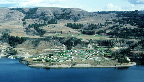
In Ferry County, the land is heavily forested and relatively mountainous. In keeping with its character, timber and mining activities were the backbone of the local economy for the 20th century. Natural resource industries, however, declined precipitously. The area is very thinly populated, with less than 4 persons per square mile.
In Stevens County, there is both forested areas and pasture land. From the 1850s through 1910, Stevens County was one of the state’s top silver and copper producers. In the 19th and 20th centuries, lumber and pulp operations, pasture land that supports ranching, and mining operations were the foundation of the local economy. The 20th century also saw declines in the county’s resource extraction economy with increases in tourism/recreation and manufacturing that continue into the 21st century. Recreation activities include a local ski area and access to waterways such as Lake Roosevelt. In addition, the Colville National Forest stretches across both Stevens and Ferry Counties.
The Spokane Indian Reservation lies to the south of Stevens County. The west side of the reservation borders Lake Roosevelt for eight miles. Its southern border is defined by the north bank of the Spokane River. Like Stevens County, it is primarily a mixture of forest and farmland. In addition to its natural resource economy, the Spokane’s Two Rivers Casino overlooks the lake. The Spokane’s also operate a second casino in Chewelah, which is located in Stevens County.
As the lake turns west, Lincoln County lies to the south. In contrast to the northern part of the lake, this is big sky country with wide open spaces and rolling hills. This is the northern end of the Palouse Hills, where the basalts of the Columbia Plateau are buried by wind-blown soils known as loess. Loess is a very fine and highly erosive soil that is also extremely productive, supporting some of the nation’s best dry land farming. In fact, Lincoln County is Washington’s second-largest wheat producer and third-largest in the country. Livestock production and tourism activities are also an important part of their economy.
Grant County just touches Lake Roosevelt around Grand Coulee. This is where the dam is and, with Banks Lake, represents the gateway to the irrigated croplands supported by the Columbia Basin Project.
Moving across the river and north is the Colville Indian Reservation and Okanogan County. The Colville Indian Reservation borders Lake Roosevelt for approximately 93 river miles on its southern and eastern shorelines. With 1.4 million acres of forest, miles of lake front property, grasslands and abundant wildlife, the Colville’s enjoy a rich and diverse set of natural resources. The Colville’s created the Colville Tribal Federal Corporation (CTFC), headquartered in Omak, to manage two enterprises (gaming and wood products).
