With the closing of Grand Coulee Dam’s gates in 1942, Franklin D. Roosevelt Lake (Lake Roosevelt for short) was created.
400
Number of feet the waters of the Columbia River rose up behind Grand Coulee Dam.
600
Number of miles of shoreline that were created by Grand Coulee Dam.
150
Number of miles the lake runs from Grand Coulee Dam to near the Canadian border.
But numbers only begin to tell the story…
Lake Roosevelt covers a water and land area with a rich cultural, geologic and ecological history dating back thousands of years.
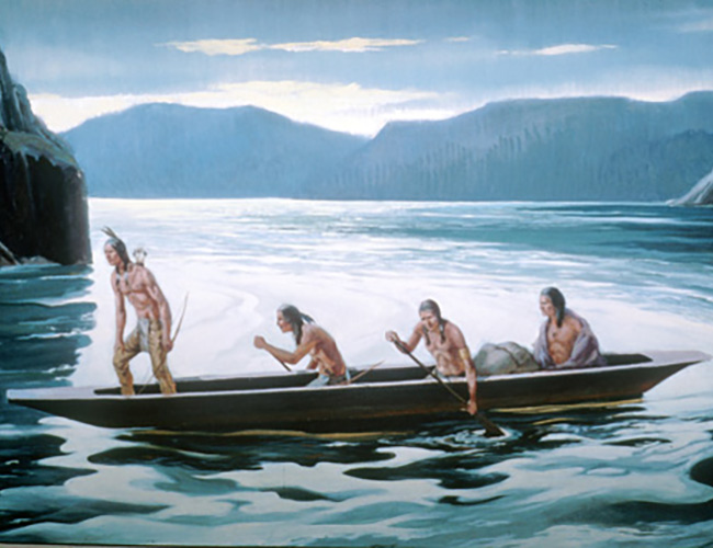
A Brief History
Today, the area largely reflects the character and characteristics of human development and settlement over the past 150 years. With a closer look, however, one can appreciate a natural and cultural history as rich as any in America. This brief history merely touches the surface of why this area is so special.
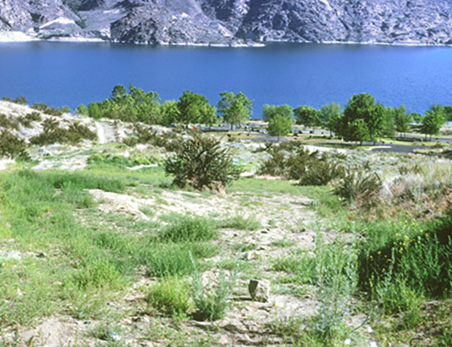
Geography & Community
Beyond the ice age floods, the physical characteristics of the lands reflect the crossroads of three distinct geographic provinces: the Okanogan Highlands, the Kootenay Arc, and the Columbia Plateau.

Grand Coulee Dam
As authorized by Congress in 1935, Lake Roosevelt and Grand Coulee Dam were designed to primarily support irrigation, flood control and power generation needs. Over time, Lake Roosevelt’s operations also sought to meet the recreation needs of up to 1.5 million people annually, and the water needs of downstream fisheries.
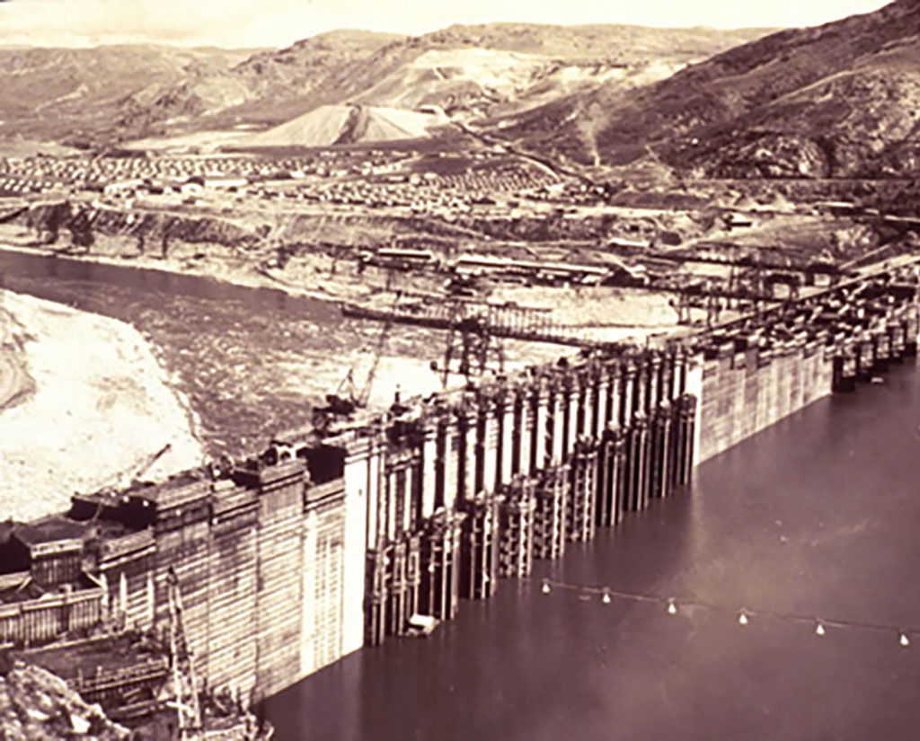
Operations
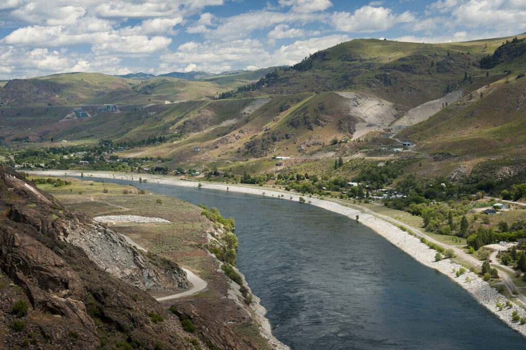
The Columbia River from the Canadian border to the dam was no longer free flowing. Instead, this portion of the Columbia became a reservoir (called Franklin D. Roosevelt or Lake Roosevelt for short). At full pool, Lake Roosevelt has 630 miles of shoreline and extends north over 150 miles to the Canadian border.
Managing Partners
Management of the lake and its shoreline is a cooperative effort that includes the Bureau of Reclamation, the National Park Service, the Confederated Tribes of the Colville Indian Reservation, the Spokane Tribe of Indians, and the Bureau of Indian Affairs (the five partners).
Cultural Resources
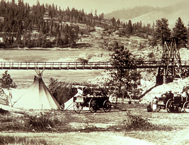
As the gates closed and the waters rose, portions of the heritage and culture of native peoples were entombed. Burial sites, gathering places, utensils and tools to support daily life, structures, and pictographs are examples of a way of being and heritage which now lay beneath the waters and sands of what is now called Lake Roosevelt.
Fast Facts
Quick facts about Lake Roosevelt relating to overall stats, climate and vegetation types, waterways listed by county or reservation of origin, wildlife and demographical information for reservations, counties and state.
